


Establishing an accurate control network on site is essential prerequiste to
carrying out any survey or setting out work.
We can provide you with such a control network, whereby it might be a
single point to the National Ordnance Survey grid and datum to a
complete network for a new road scheme.
The coordinate system for the control network to be installed is generally
one of three options;
• A new local arbitary grid and datum.
• An existing grid and datum provided by others.
• The National Ordnance Survey grid and datum.
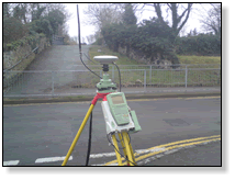
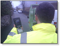
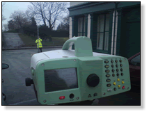
Both traditional optical traverse and GPS methods are used to determine
plan position with digital spirit levels used to establish heights.
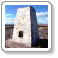
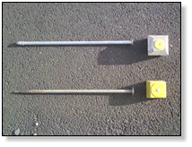
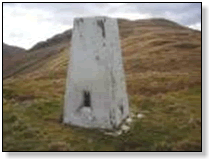
Control stations can be constructed as permanently and elaborately as
your budget can afford.
Survey and Engineering Control


NRG Engineering Services Ltd
Land and Engineering Surveyors