


Equipment
We have over the years, continually invested in the latest technology
which we believe is essential to provide an accurate, reliable and efficient
service to our clients.
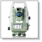
Our surveyors are equipped with a vast array of Leica Geosystems
renowned quality products.
We have a wide range of software to comprehensively meet ours and our
clients demands. Our sister company NRG Surveys began developing
software in 1984 to meet our needs and is now an internationally
recognised leader in the field of Civil Engineering and Land Survey
solutions.
Our ties with the software developers remain strong giving us a leading
edge in providing bespoke solutions to technical problems.
For more information about NRG software go to their website
www.nrgsurveys.co.uk
•
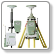
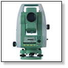
Leica TCRP 1200 Robotic Total Stations
•
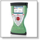
Leica Viva CS15 field controllers
•
Leica Flexline TS02 Total Stations
•
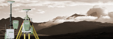
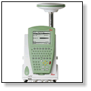
System 1200 Dual frequency GPS receivers
•
SR530 Dual frequency GPS receivers
•
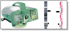
DNA 10 Digital level with Invar staff
•
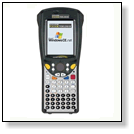
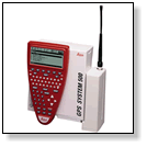
Psion Workabout Pro data loggers


NRG Engineering Services Ltd
Land and Engineering Surveyors