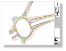


We recently carried out a topographic survey at junction 11 on the M56,
commissioned by Balfour Beatty in order to design and construct
improvements to the on/off slip roads of the junction.
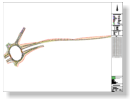
The extents of the survey encompassed the full motorway junction
together with the hard shoulder of the M56 motorway and a section of the
A56 leading off the roundabout all between the highway boundary.
Due to high traffic flows during the daytime, the survey works where
programmed to tight deadlines during the night under prearranged lane
closures provided by the traffic management contractor.
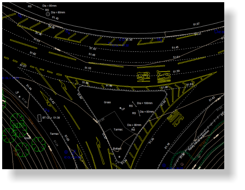
The client’s specification was extensive, including individual tree positions,
sign dimensions and all the traffic line markings within the survey extents.
Topographic Survey - M56 Junction11


NRG Engineering Services Ltd
Land and Engineering Surveyors