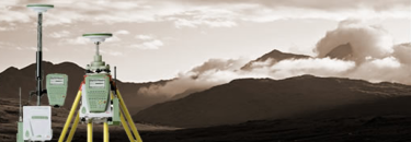


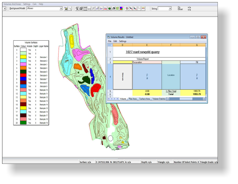
3D digital terrain models can be created from a site survey to give
accurate areas and volumes. In the simplest form this might be to
measure the volume of a stockpile or a void that requies filling to a more
complex cut/fill balancing exercise.
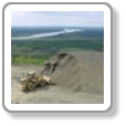
We can also calculate volume and area information against a previous
survey or a new design model. A typical example would be a landfill site,
whereby we can calculate the volume of fill on the site since the previous
visit and also the volume capacity required to fill the site.
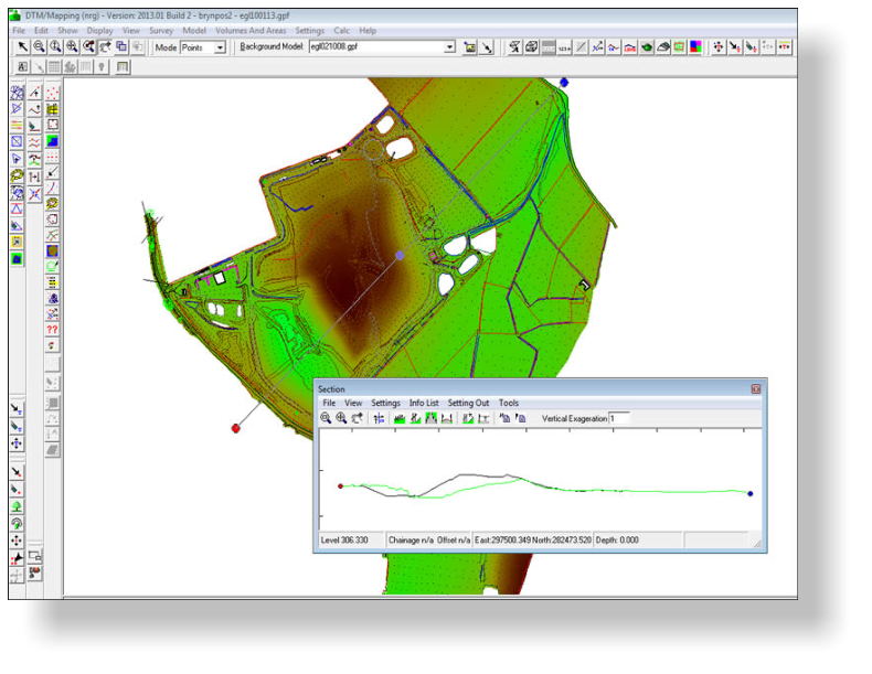
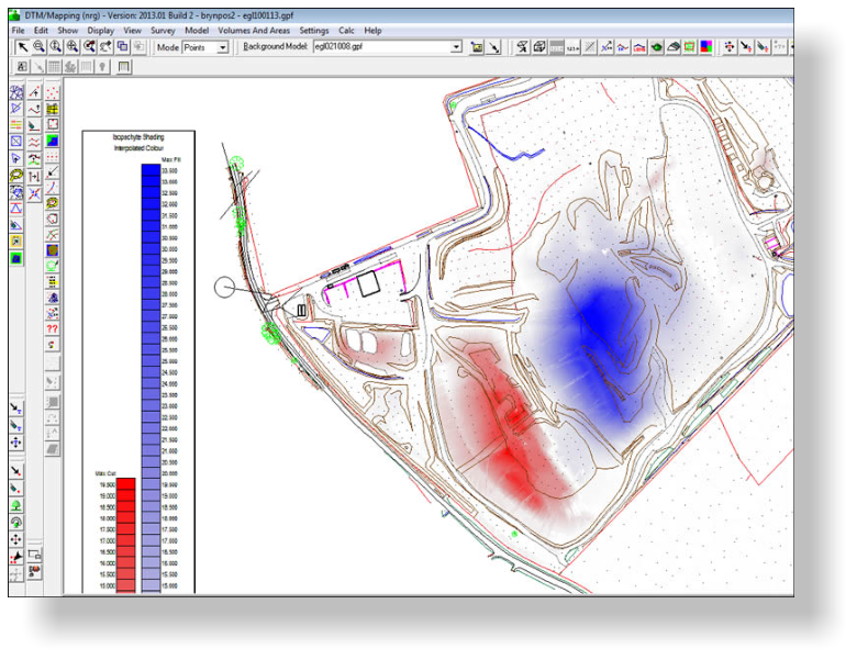
There are numerous ways we can present and substantiate the quantities.
Isopachs give a good indication of where the materials are. Cross
sections show how the terrain looks and can be used to check the
volumes. Our aim is to give you the leading edge in any negotiations you
may have with the answers
Volumetric Surveys


NRG Engineering Services Ltd
Land and Engineering Surveyors