


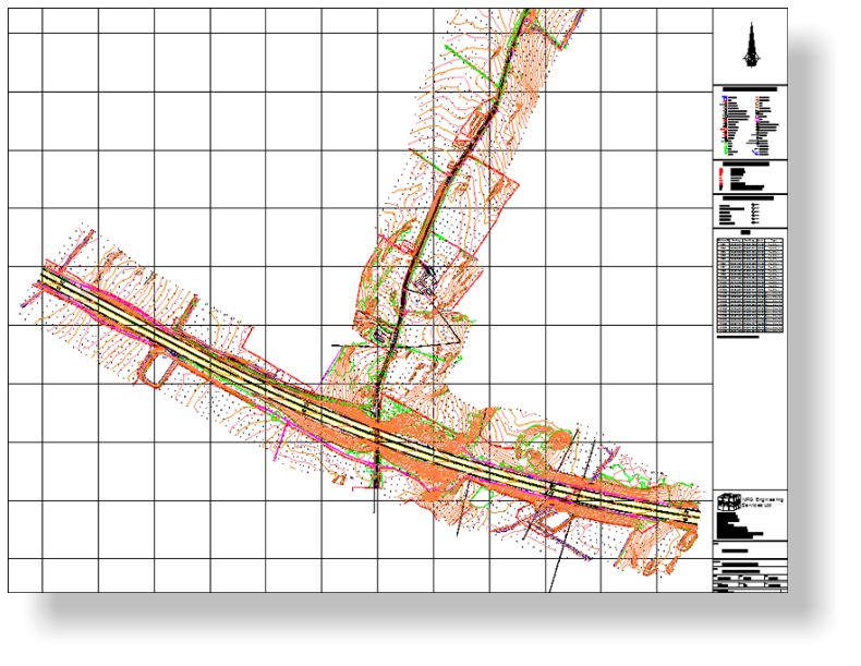
We recently carried out a detailed topographic survey of the A55 Bryn Twr
junction on the Isle of Anglesey, for Civil Engineering consultant Mott
MacDonald on which to base an engineering design for a new junction.
The survey area was approximately 400,000 square metres and involved
surveying the existing A55, carried out with lane closures provided by
traffic management, along with the existing A5 and surrounding farmland.
The survey was carried out using GPS RTK surveying method together
with total stations for areas where a higher precision was required.
The client's specification included all the usual features together with all
tree positions, heights, bole diameters and accurate plotting of canopies,
undergrowth locations and type along with overhead cable heights.
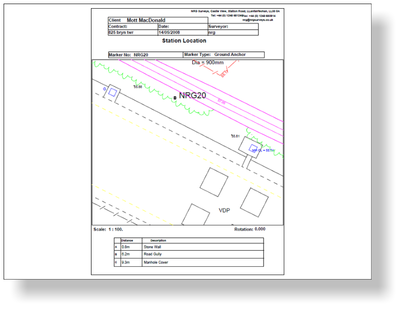
Along with the survey, we also left behind a rigourous control network, tied
into the Ordnance Survey Active GPS network.
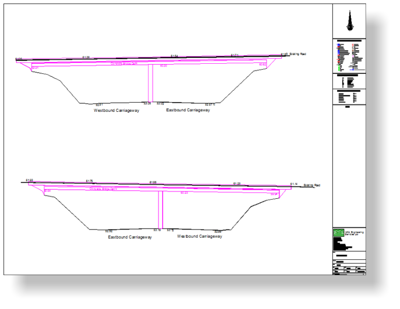
We supplied the client with CAD drawings of the topographic survey,
together with elevations of the overbridge spanning the A55, MX(Moss)
files of the survey and also station location plans for the control that we
had left behind.
Topographic Survey - A55 Bryn Twr
Junction


NRG Engineering Services Ltd
Land and Engineering Surveyors